
Vacant Land Drone Survey & Lot Assessment in Brevard County
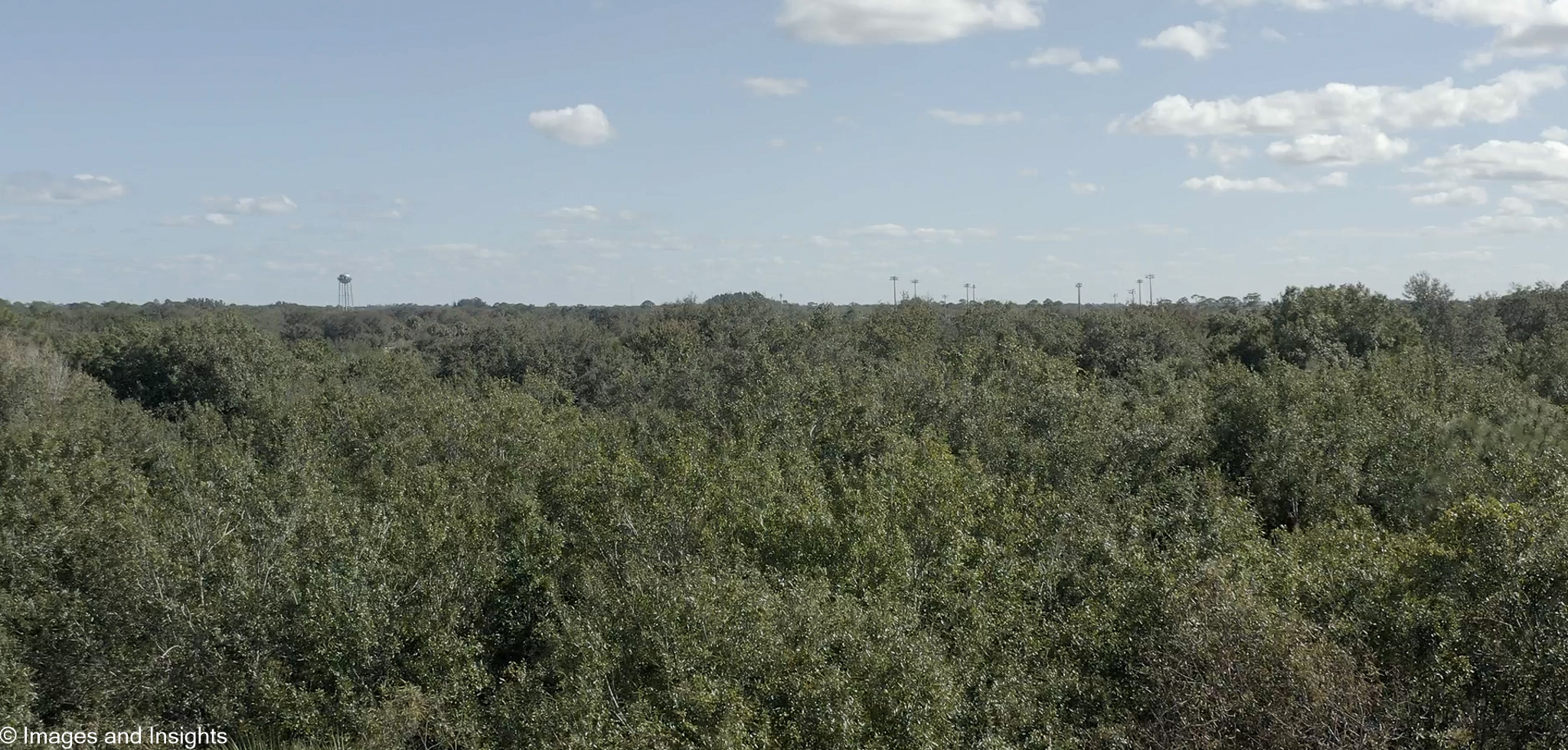
Buying undeveloped land in Brevard County can be one of the most challenging real estate decisions you make. Wooded lots, overgrown parcels, and wetland-adjacent properties are difficult to evaluate from the road or from Google Maps — and a single ground visit rarely tells the full story. Images and Insights LLC provides vacant land drone surveys for these hard-to-access properties, giving buyers and developers a complete aerial picture before any commitment is made.
Our aerial assessments reveal topography and elevation changes, drainage patterns and low-lying areas, vegetation density and clearing requirements, boundary context relative to neighboring properties, and proximity to water features, conservation land, or easements. Whether you are evaluating a single residential lot or a multi-acre development parcel, we give you the visual data you need to make a confident, informed decision.
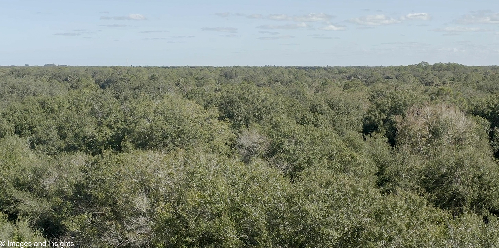
Serving buyers, sellers, real estate agents, and developers throughout Brevard County, Florida. Every flight is conducted by an FAA Part 107 certified pilot with decades of operational and technical experience.
What to expect. Every flight begins with understanding what you want to learn about the property, followed by a pre-flight safety check of the parcel and surrounding airspace, in full compliance with FAA Part 107 regulations. All flights are conducted by a licensed remote pilot — trained through Pilot Institute’s FAA-approved ground school — ensuring every flight meets current federal safety standards.
Documentation you can act on. Within 24–48 hours of the flight, you’ll receive an organized set of high-resolution aerial images covering the parcel’s topography, vegetation coverage, and drainage patterns — giving you a clearer picture before you buy or develop. This imagery is for visual reference and general site assessment only; it is not a boundary survey or topographic survey, and is not a substitute for work performed by a licensed Professional Surveyor and Mapper (PSM). For parcels near wetlands or conservation areas, this aerial context can also help inform conversations with the St. Johns River Water Management District or your own surveyor.