Images and Insights LLC gives buyers, sellers, agents, and builders across Brevard County an aerial view of what matters most — before a decision is made, a contract is signed, or a claim is filed.
Our work across Brevard County
Every image below was captured by Images and Insights LLC over Brevard County

Residential neighborhood overview – Grand Isle, Viera East, Homes, conservation water area, and surrounding context captured from above.

Roof condition survey – Merritt Island. Slipped tile identified during aerial inspection, invisible from ground level.

Aerial view of the Brevard Veterans Memorial Center and amphitheater – Merritt Island, Banana River scenic corridor in the background.

Commercial construction progress – apartment complex parking renovation, Cape Canaveral. Port Canaveral visible in the background.
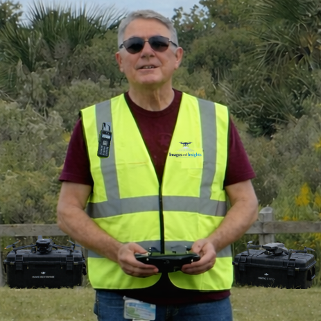
About Images and Insights LLC
Images and Insights LLC was founded by a 30-year Navy veteran and Merritt Island resident who has called Brevard County home since 2007. With over two decades in aerospace and defense — including work supporting the Eastern Launch Range at Patrick Space Force Base — and drone flight experience dating back to 2009, the foundation of this business is disciplined operations, technical precision, and a deep familiarity with this community.
As an FAA Part 107 certified pilot, every flight is planned and conducted with the same structured approach that guided a career in defense and advanced technology systems. When you hire Images and Insights LLC, you get someone who knows this area, understands what’s at stake in a real estate or construction decision, and delivers imagery you can rely on.
Proudly serving Brevard County from Merritt Island, Florida.
Ready to see your property from above?
Tell us about your project and we’ll be in touch within one business day.
(321) 323-9329
contact@imagesandinsights.com
Images and Insights LLC — Merritt Island, Florida — Serving all of Brevard County