Storm Damage Drone Documentation for Insurance Claims in Brevard County
When a hurricane or severe weather event impacts your property, the hours and days immediately following are critical. Insurance claims require clear, documented evidence of damage — and the sooner that documentation is captured, the stronger your claim. Images and Insights LLC provides rapid storm damage drone documentation after severe weather events, giving Brevard County homeowners and commercial property owners the visual evidence they need when they need it most.
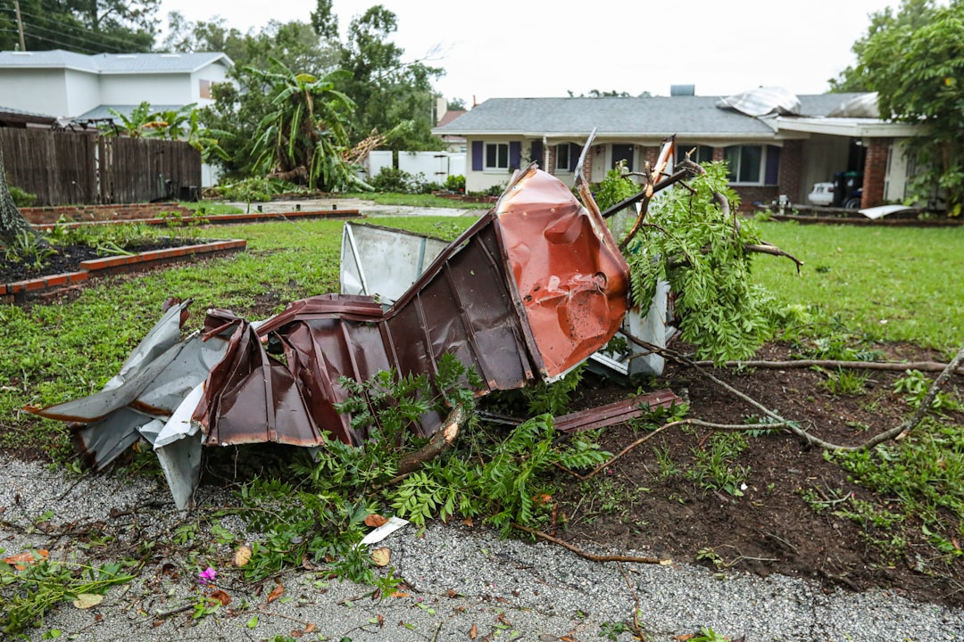
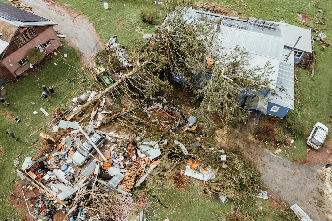
Our storm and insurance documentation service captures overall property damage extent and severity, roof damage including missing materials, punctures, and structural compromise, damage to outbuildings, fencing, landscaping, and exterior features, water intrusion indicators and pooling areas, and surrounding context that establishes the scope of the weather event. Aerial documentation is particularly valuable for properties with damage that is difficult or unsafe to access on the ground immediately after a storm. A comprehensive set of timestamped aerial images gives your insurance adjuster a complete picture and supports a faster, more accurate claims process.
Serving residential and commercial property owners throughout Brevard County, Florida. Every flight is conducted by an FAA Part 107 certified pilot with decades of operational and technical experience.
What to expect. Once you contact us, we prioritize scheduling based on safety and airspace conditions — after major storms, temporary flight restrictions are sometimes issued near affected areas, and we monitor these closely to fly as soon as it’s safe and legal to do so. Every flight is conducted in full compliance with FAA Part 107 regulations by a licensed remote pilot trained through Pilot Institute’s FAA-approved ground school.
Fast turnaround, claim-ready documentation. Within 24–48 hours of the flight, you’ll receive a timestamped set of high-resolution aerial images clearly documenting the property’s condition. This documentation is formatted for easy sharing with insurance adjusters and claims processors, giving you clear visual evidence to support your claim without the risk of accessing storm-damaged structures yourself. If you need additional disaster recovery resources, FEMA’s Florida disaster assistance page is a helpful starting point.