
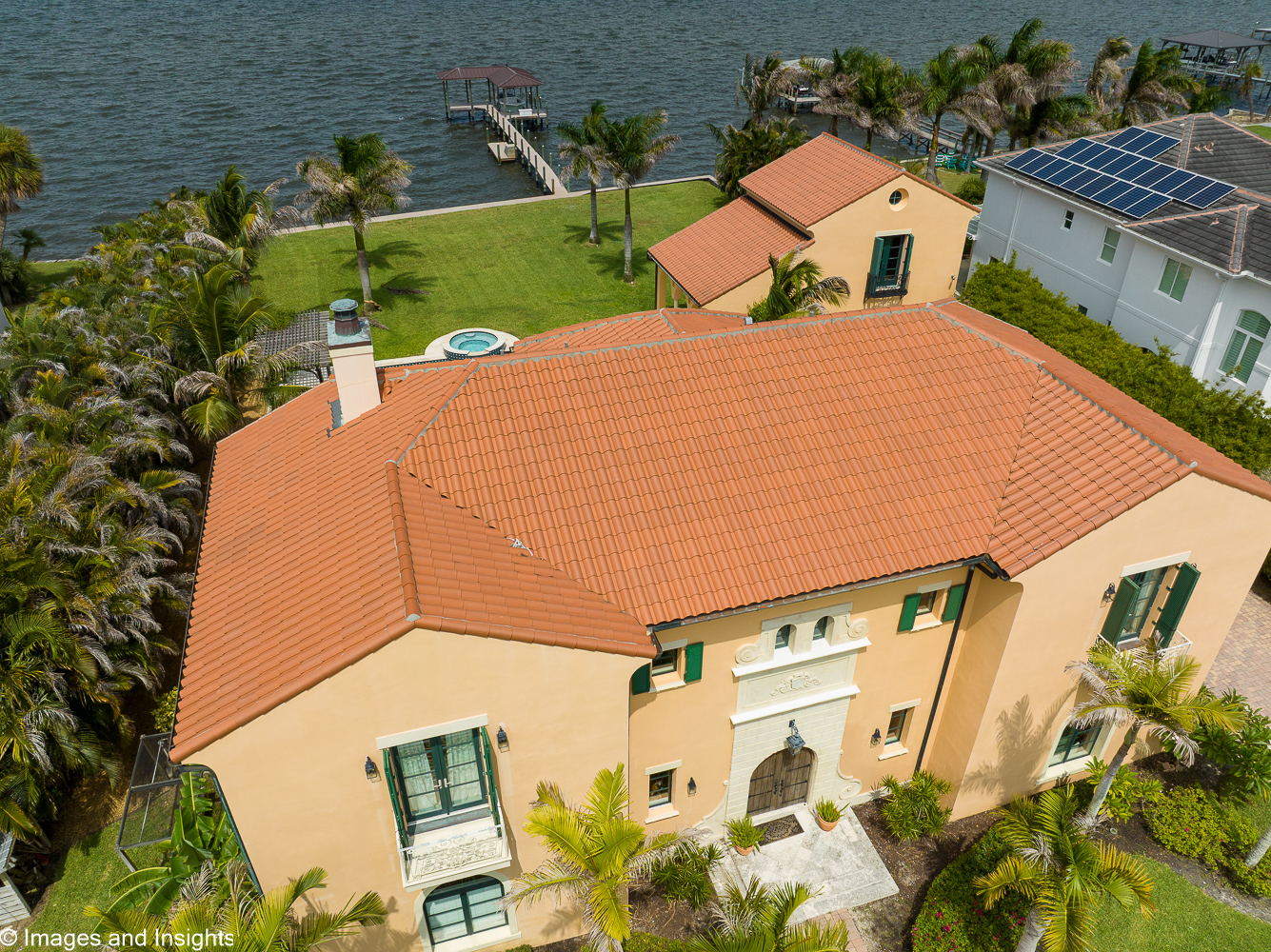
Real Estate Drone Photography & Listing Imagery in Brevard County
In a competitive real estate market, the first showing happens online. Buyers scroll through dozens of listings and the properties that stop them are the ones with imagery that shows the full picture — not just the front door. Images and Insights LLC provides real estate drone photography and video that give your listing a perspective no ground-level camera can match.
Our aerial listing imagery captures the property’s full lot size and shape, the relationship between the home and its surroundings, proximity to water, green space, or community amenities, neighborhood context and street access, and the overall setting that makes a Brevard County property worth seeing in person. For agents looking to differentiate their listings and sellers who want maximum market exposure, aerial imagery is one of the most cost-effective tools available.
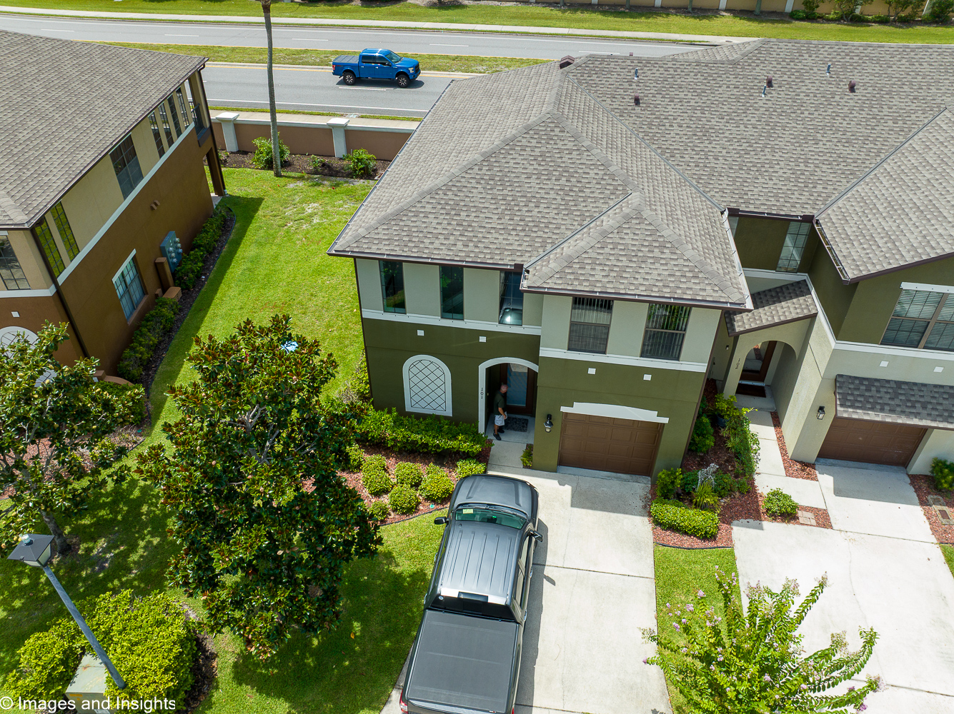
Serving real estate agents, home sellers, and property owners throughout Brevard County, Florida. Every flight is conducted by an FAA Part 107 certified pilot with decades of operational and technical experience.
What to expect. Every flight begins with understanding what makes the property and setting worth showcasing, followed by a pre-flight safety check of the property and surrounding airspace, in full compliance with FAA Part 107 regulations. Flights typically take 20–30 minutes depending on property size and the shots needed, capturing both still images and video where useful. All flights are conducted by a licensed remote pilot — trained through Pilot Institute’s FAA-approved ground school — ensuring every shoot meets current federal safety standards.
Fast turnaround, listing-ready images. Within 24–48 hours of the flight, you’ll receive a curated set of high-resolution images, edited and ready to upload to MLS, Zillow, or your marketing materials. This quick turnaround means aerial imagery won’t hold up your listing timeline — you can have your photos in hand and ready before your next open house. The National Association of Realtors reports listings with aerial imagery consistently outperform those without.